Palm Beach County Monday Traffic: Military Trail Still Closed at the Crash Site, South Ocean Closures in Palm Beach
Military Trail between 10th Avenue North and Purdy Lane remains closed until further notice with only emergency vehicles permitted, and school-bus delays are possible in Monday morning's rain.
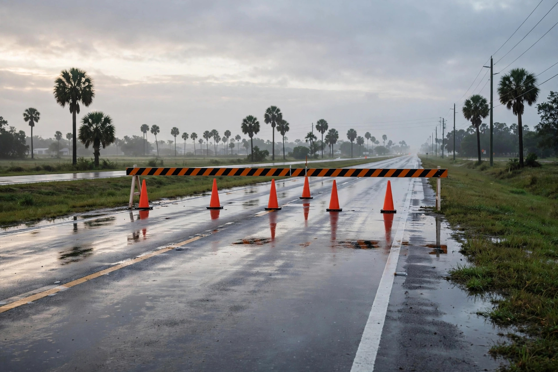
The Monday drive in Palm Beach County starts with the county's biggest closure still in place. All lanes of Military Trail in the area of Cresthaven Boulevard and 10th Avenue North are closed after Sunday's Learjet crash, the Palm Beach County Sheriff's Office said, and the county Emergency Operations Center reporting read this cycle puts the closure from 10th Avenue North to Purdy Lane/Alemeda Drive, closed until further notice with only emergency vehicles permitted. The county's posted detours use 10th Avenue North and Purdy Lane/Alemeda Drive for east-west travel and Haverhill Road and Kirk Road for north-south travel.
School traffic is lighter around the crash site but not normal. John I. Leonard High School, at 4701 10th Ave. North in Greenacres, within half a mile of the crash intersection, is closed Monday while crews and investigators work nearby, the school district announced Sunday evening. All other schools were expected to be open Monday, the Palm Beach Post reported, though officials noted that torrential rain expected through the night could cause some bus delays in the morning, and parents were encouraged to track routes on the Here Comes the Bus app.
On the island, the Town of Palm Beach alerts page, read this cycle, continues to list mandated South Ocean Boulevard closures and moving temporary lane closures, plus Cocoanut Row between Royal Poinciana and Pendleton under nightwork from Nov. 1 to 5. With a Flood Watch in effect until 7 p.m. Monday, drivers across the county should leave extra time, never drive through flooded streets, and expect the Military Trail closure to shape both the morning and evening commutes.