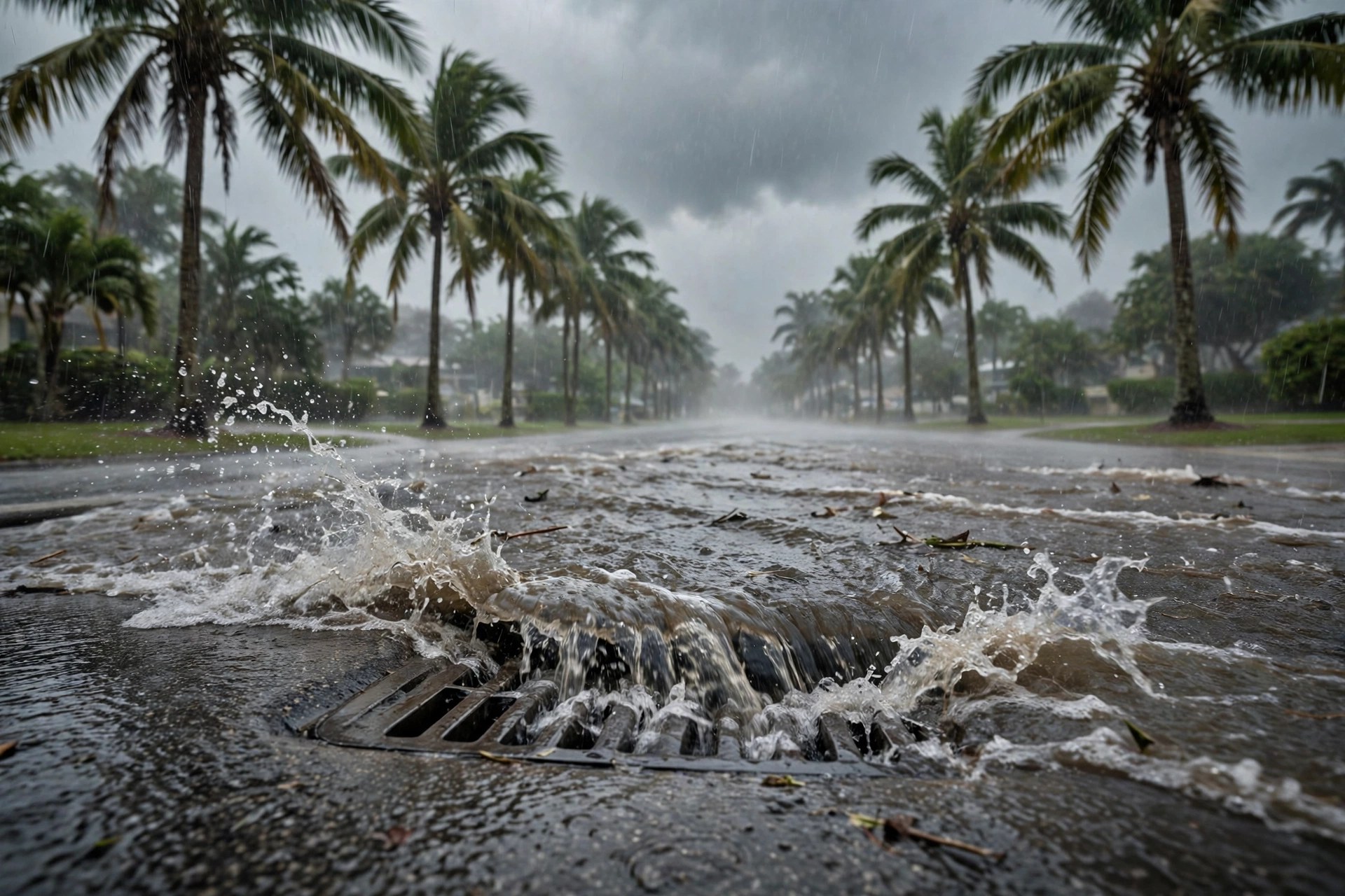
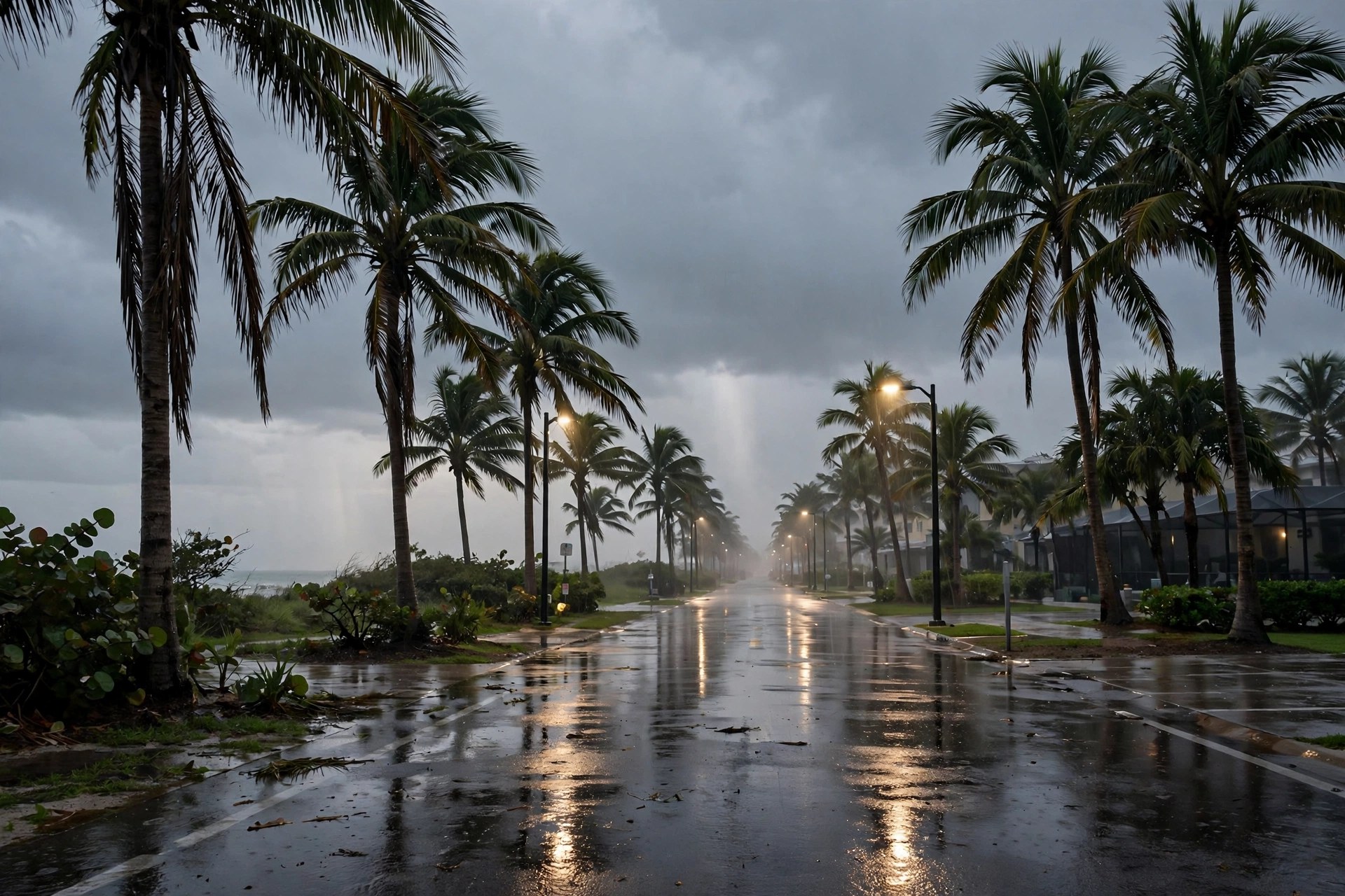
West Palm Beach Weather Monday Morning: Thunderstorms, a Flood Watch to 7 P.M. and an 80-Degree High
The station's live feed puts West Palm Beach at 76.1 degrees Monday morning with a high of 80.2 and a 68 percent precipitation chance, while a Flood Watch runs until 7 p.m. and coastal flooding and rip currents continue into Tuesday.
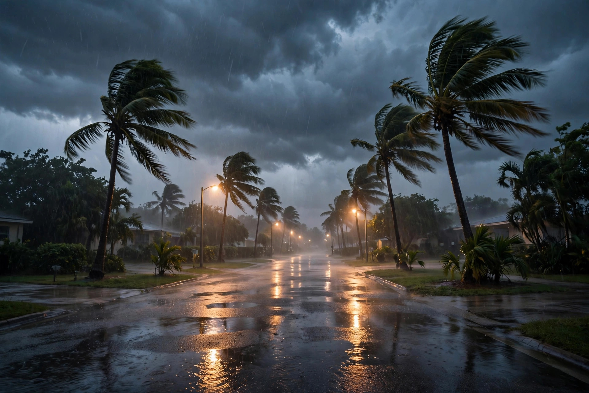
Monday in West Palm Beach starts wet and stays unsettled. The station's live weather feed, read this cycle, put the city at 76.1 degrees Monday morning, with a forecast high of 80.2, a low of 73 and a 68 percent chance of precipitation under a thunderstorm code. The Weather.com listing for West Palm Beach, read this cycle, shows thunderstorms building through the morning with rain chances near 100 percent late morning, east winds around 17 to 18 mph and gusts into the mid-20s.
The alert clock is the morning's main fact. A Flood Watch for Palm Beach County runs until 7 p.m. EST Monday, after the National Weather Service in Miami extended its watch to all of South Florida late Sunday night, according to the NWS compilation read this cycle. At 1:41 a.m. EST Monday, NWS Miami extended Coastal Flood Advisories for coastal Palm Beach County through 7 p.m. EST Tuesday, with a high rip current risk through Tuesday; the Weather.com listing also carries a Rip Current Statement and a Small Craft Advisory into Tuesday and a High Surf Advisory until 7 a.m. Monday.
The feed's week ahead keeps Election Day unsettled: Tuesday shows a high of 80.8 with a 53 percent precipitation chance under overcast skies, Wednesday a high of 82.9 with the same 53 percent chance, and Thursday a high of 82.6 with the chance falling to 13 percent before a drier, warmer Friday at 85. Drivers should expect ponding on flood-prone streets through the watch, and beachgoers should stay out of the surf while rip currents remain a risk.