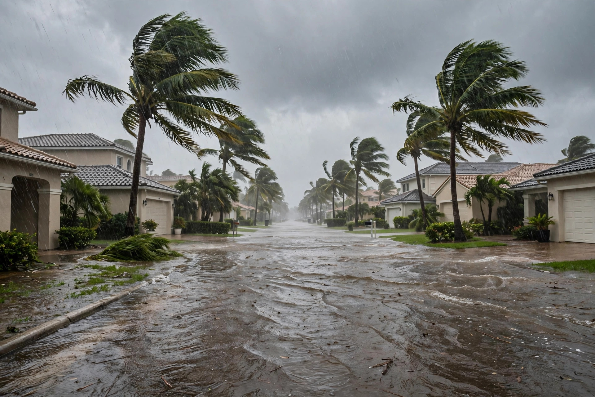
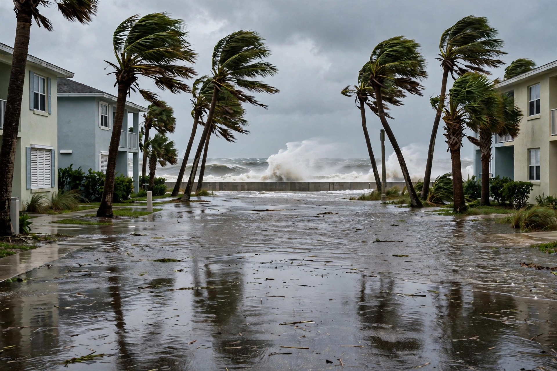
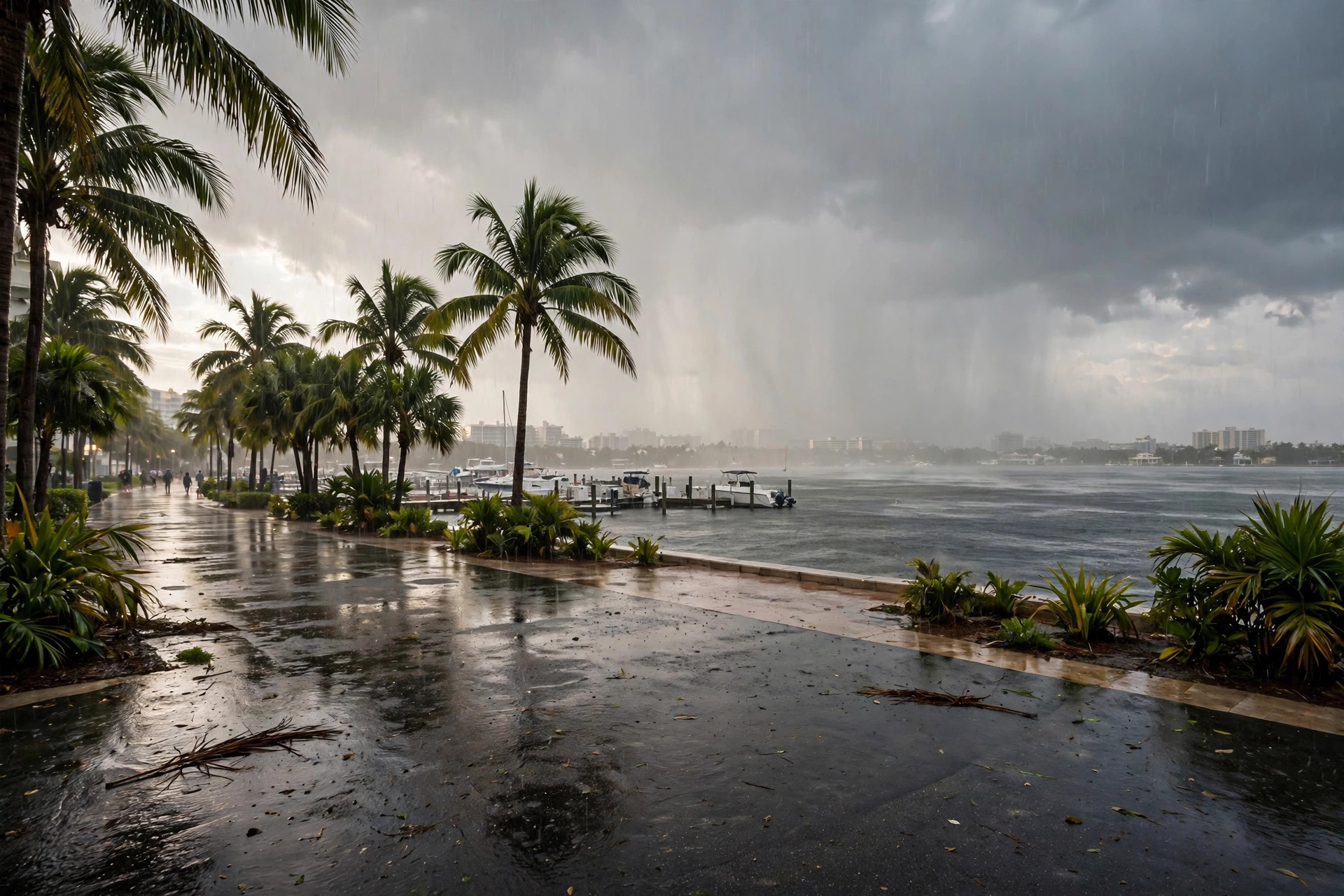
Flood Watch: Palm Beach County's Wettest Window Is Still Ahead, Through Monday Afternoon
West Palm Beach stood at 73.3 degrees under an 88% rain chance on Sunday evening, with the Flood Watch holding until 3 p.m. Monday, coastal flooding until Monday evening and dangerous rip currents through Tuesday evening.
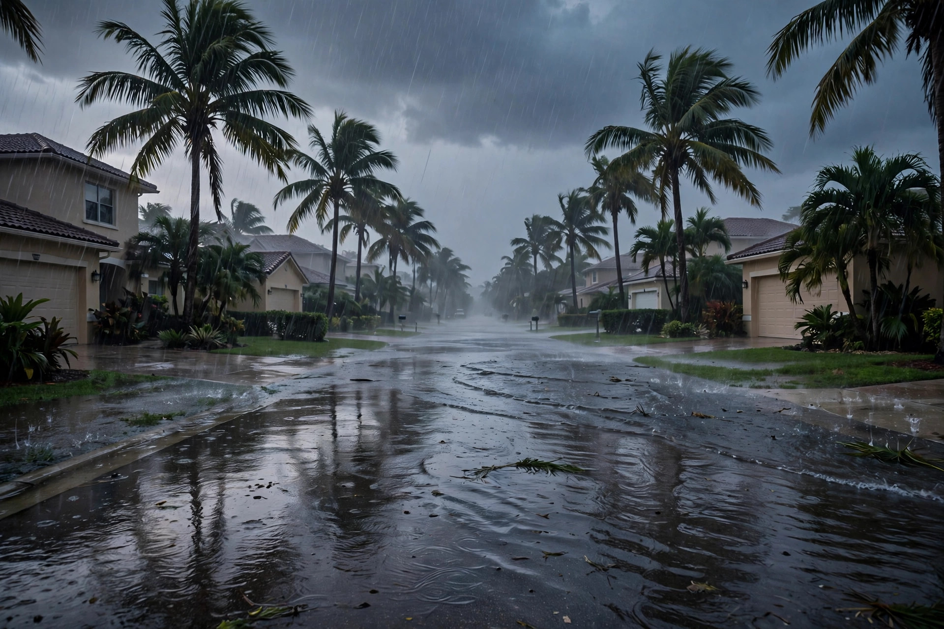
WEST PALM BEACH — The Flood Watch for Palm Beach County runs until 3 p.m. Monday, and the evening numbers say the wettest window is still ahead: on the station's live weather feed, read at about 5:32 p.m. CT on Sunday, West Palm Beach stood at 73.3 degrees with a feels-like temperature of 72.3 under an overcast code carrying an 88% precipitation chance, and Sunday closes with a showers code, a high of 80.8 and a low of 71.9. Monday — the commute day the watch covers — carries a rain code, a high of 76.1, a low of 71.8 and a 75% rain chance on the station feed.
The alert clock runs past the watch itself. A Coastal Flood Advisory holds until 7 p.m. Monday for the Palm Beach County coast, a High Surf Advisory runs until 7 a.m. Monday, a Rip Current Statement stays in effect until 7 p.m. Tuesday, and a Small Craft Advisory runs until 10 a.m. Tuesday, according to the National Weather Service alert list for West Palm Beach read this run. The weather service's watch, issued Sunday, warned that bands of heavy rain could drop 3 to 5 inches across scattered locations through Monday, with isolated spots seeing 5 to 7 inches in a few hours, and that street flooding and road closures are the main concerns, especially if the heaviest rain falls near the coast at high tide.
Election Day follows on Tuesday with a thunderstorm code on the station feed — a high of 83.4, a low of 75.5 and a 56% rain chance — before the pattern eases Wednesday (46%) and dries out Thursday (17%). Drivers on Monday should leave extra time, never cross water of unknown depth, and expect the possibility of flooded streets in the county's flood-prone spots through the watch's Monday-afternoon expiry.