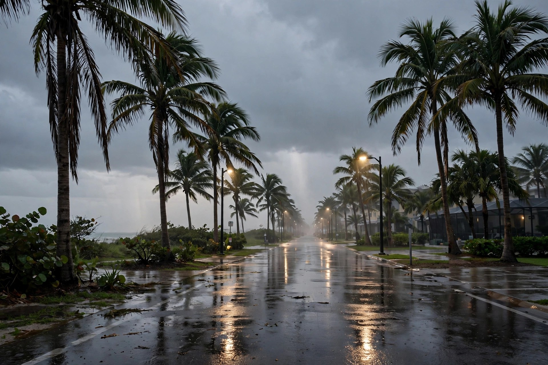
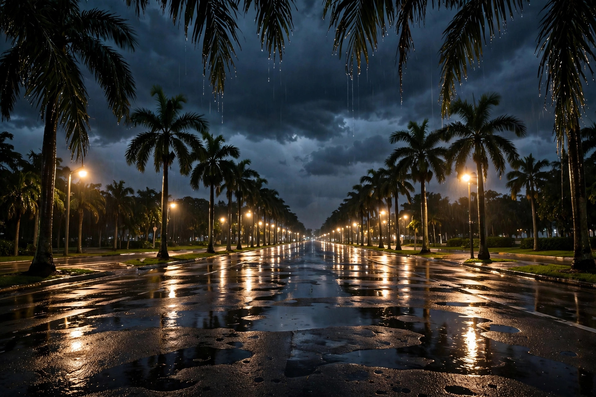
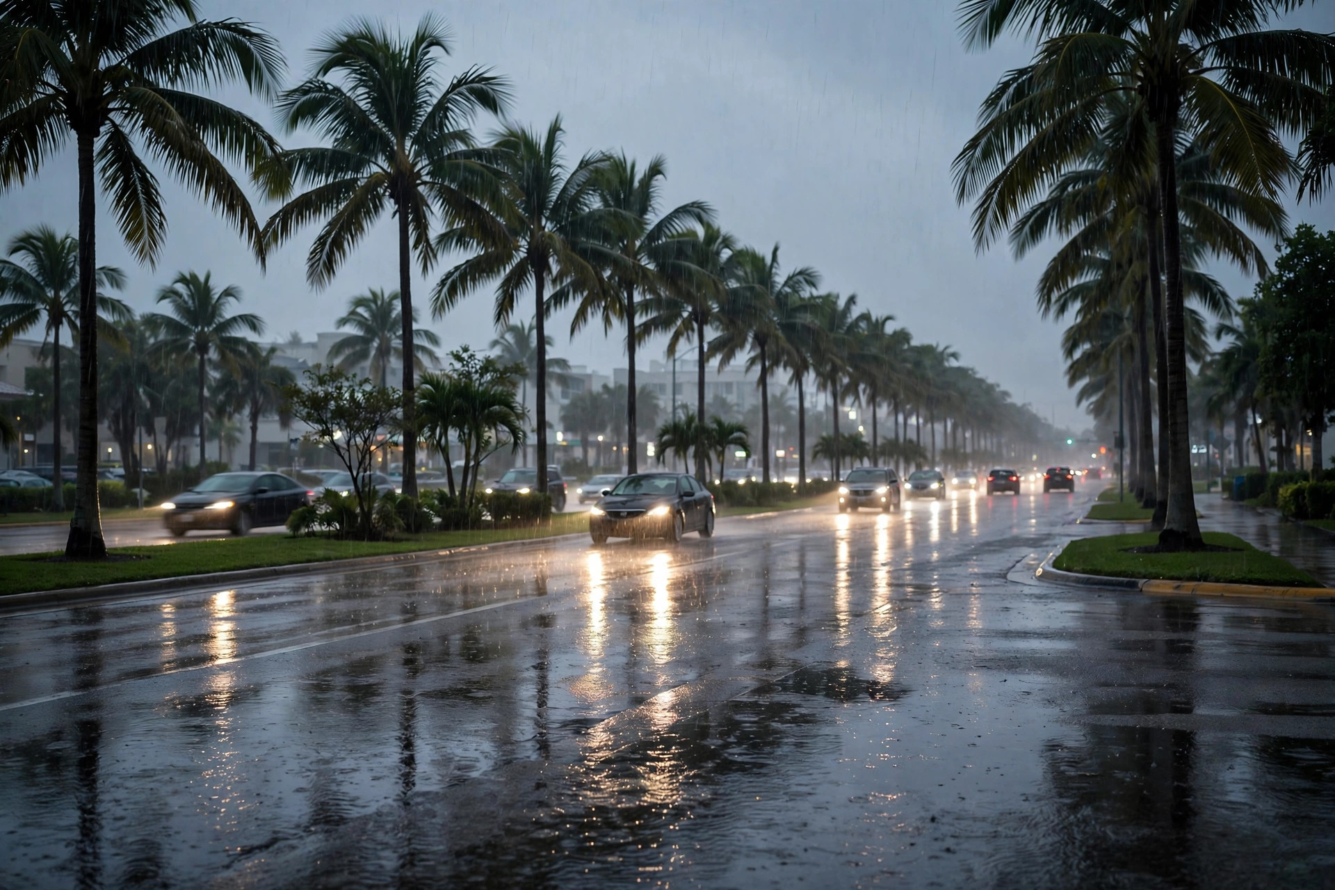
West Palm Beach Weather Monday: Flood Watch Extended to 7 P.M., 73 Degrees and Showers, and Election Day Turns Overcast in the Live Feed
NWS Miami pushed the Flood Watch four hours later, to 7 p.m. Monday, and stretched the Coastal Flood Advisory through Tuesday — while the station's live feed quietly took the thunderstorm code off Election Day.
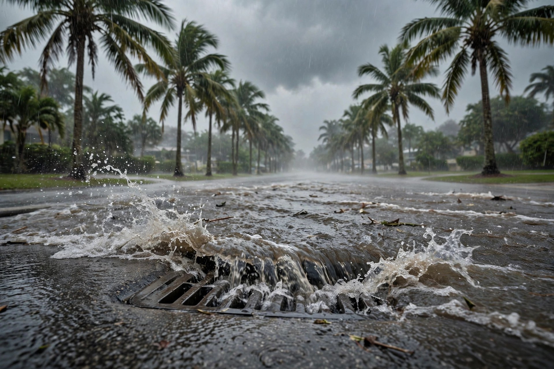
WEST PALM BEACH — Monday opens at 73.2 degrees in the station's live weather feed, feels-like 70.6, under rain showers — and under a longer alert clock than the county went to sleep with. The National Weather Service in Miami has extended the Flood Watch for all of South Florida until 7 p.m. Monday, four hours past the 3 p.m. expiry carried in this desk's earlier files, saying heavy rain may cause or worsen urban and street flooding through Monday evening.

The coastal clock stretched with it. The Coastal Flood Advisory for coastal Palm Beach County now runs through 7 p.m. Tuesday, with minor to moderate coastal flooding and a high rip current risk through Tuesday evening; a High Surf Advisory with breaking waves of 6 to 7 feet runs until 7 a.m. Monday, and a Small Craft Advisory until 7 p.m. Tuesday. The feed's Monday numbers are unchanged from the overnight read — a high of 79.4, a low of 72.4 and a 49% precipitation chance — on ground that took 9 to 12 inches of rain in the county's northeast corner Sunday night.
Election Day itself has eased in the feed: Tuesday now carries an overcast code instead of the thunderstorm code it held all weekend, with a high of 80.8, a low of 75.2 and a 53% precipitation chance while polls are open 7 a.m. to 7 p.m. Wednesday brings the thunderstorms back at 82.9 degrees and 53%, before the week dries out — Thursday 82.8 at 13%, Friday the warmest day at 87.3 and 7%, Saturday 81.2 at 6% and Sunday 83.6 at 15%. The Weather Desk's next scheduled file is at 17:00 CT.