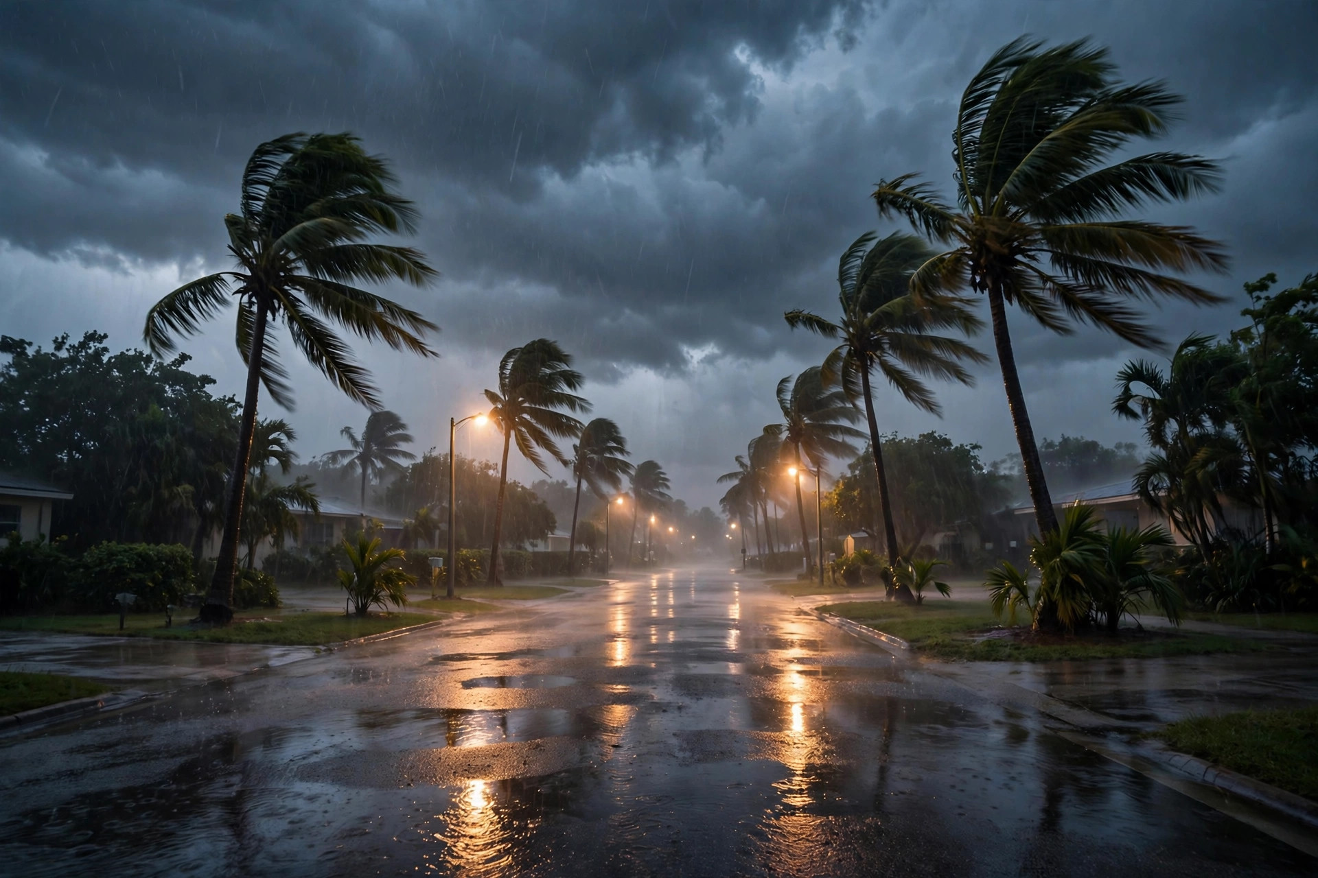
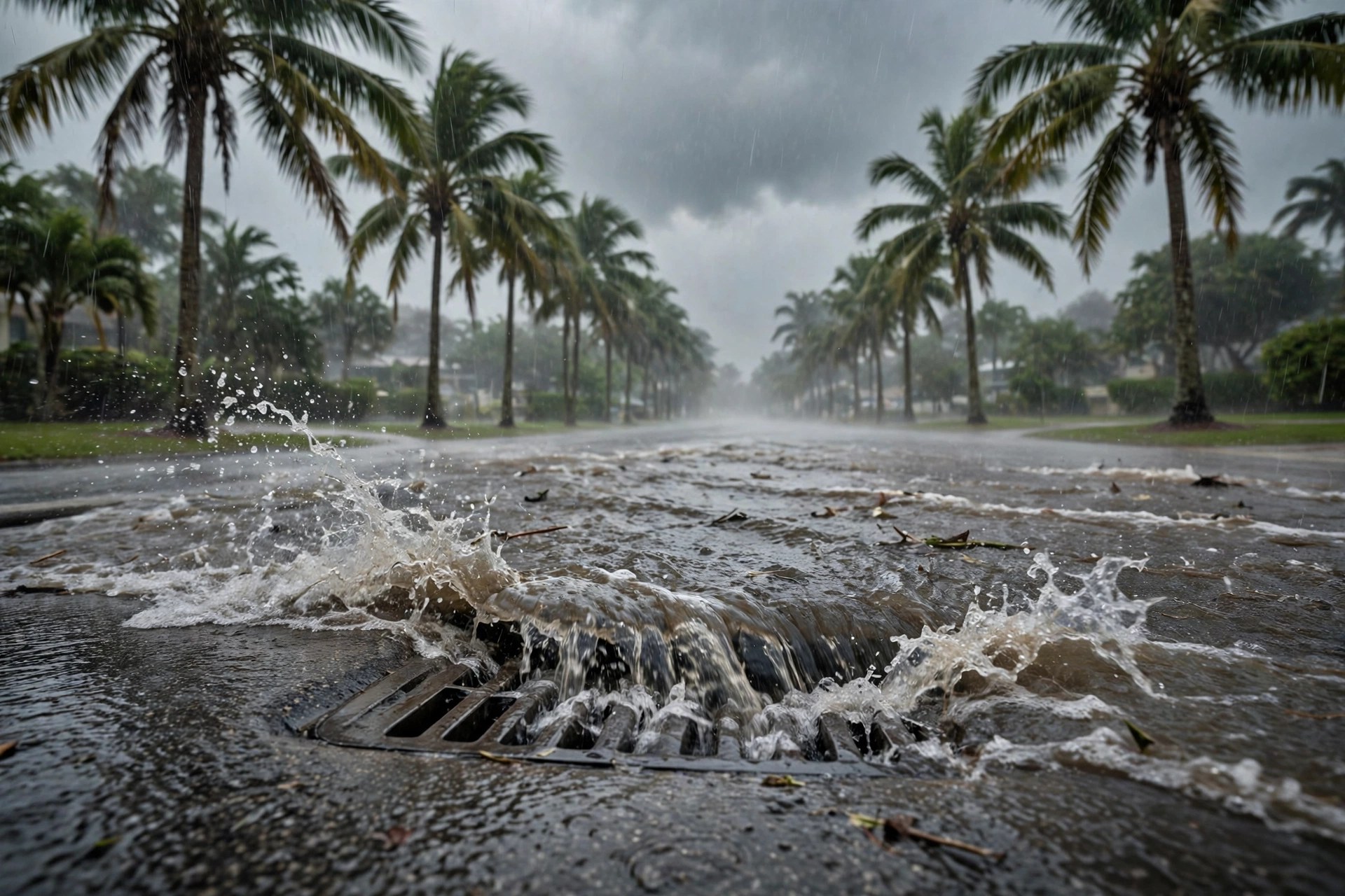
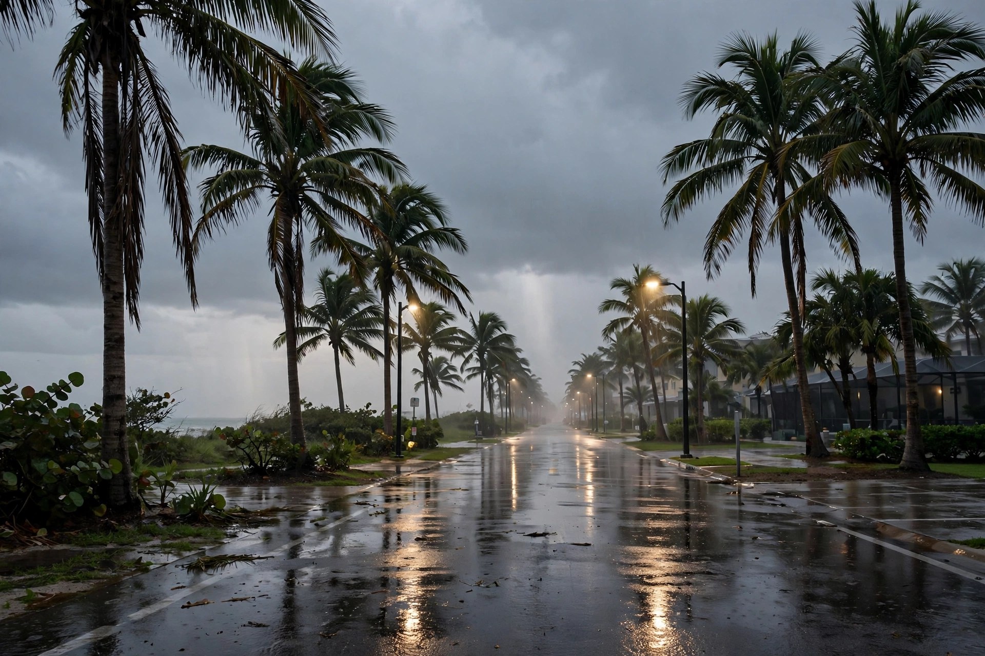
Flood Watch Runs Through Monday Evening in West Palm Beach, With the Heaviest Thunderstorms Still Ahead This Afternoon
The National Weather Service kept Palm Beach County under a Flood Watch through Monday evening, with 1 to 3 inches common where storms sit, isolated totals far higher - and a drier Election Day behind it.
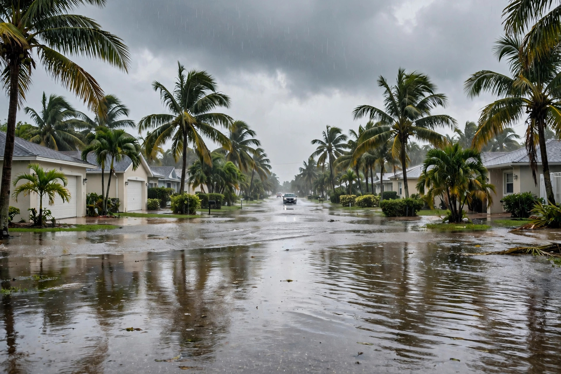
West Palm Beach's wet Monday is not finished. The National Weather Service in Miami kept its Flood Watch for Palm Beach County in effect through Monday evening, warning that pockets of very heavy rainfall that produced localized flash flooding on Sunday could be hit again on Monday, with common amounts of 1 to 3 inches where showers and storms occur, scattered locations closer to 3 to 5 inches, and isolated high-end amounts that could peak around 6 to 9 inches - accumulating in as little as two to four hours. An upper-level low continues to influence storms in the Gulf and Bahamas, and with weak surface forcing, exactly where the heaviest cells sit remains hard to pin down, the Weather Service said.

The station's live feed read 76.1 degrees and overcast at midday, with a Monday high of 79.1 and rain chances of 68 percent for the day; the hourly outlook points to the heaviest thunderstorms in the afternoon and early evening before conditions ease overnight. A Rip Current Statement and a Coastal Flood Advisory both run until Tuesday at 7 p.m. Eastern, so the beach hazards outlast the flood watch. Drivers should never cross water of unknown depth on flooded streets, and low-lying neighborhoods that flooded Sunday should expect standing water again if a slow cell parks overhead.
Election Day itself looks calmer: the live feed puts Tuesday's high at 80.2 degrees with rain chances down to 33 percent, Wednesday at 32 percent and Thursday at just 10 percent, with sunshine returning by Friday (high 82.7, rain chance 5 percent). Polls are open Tuesday 7 a.m. to 7 p.m. - voters who waited out Monday's storms should have the driest window of the week.